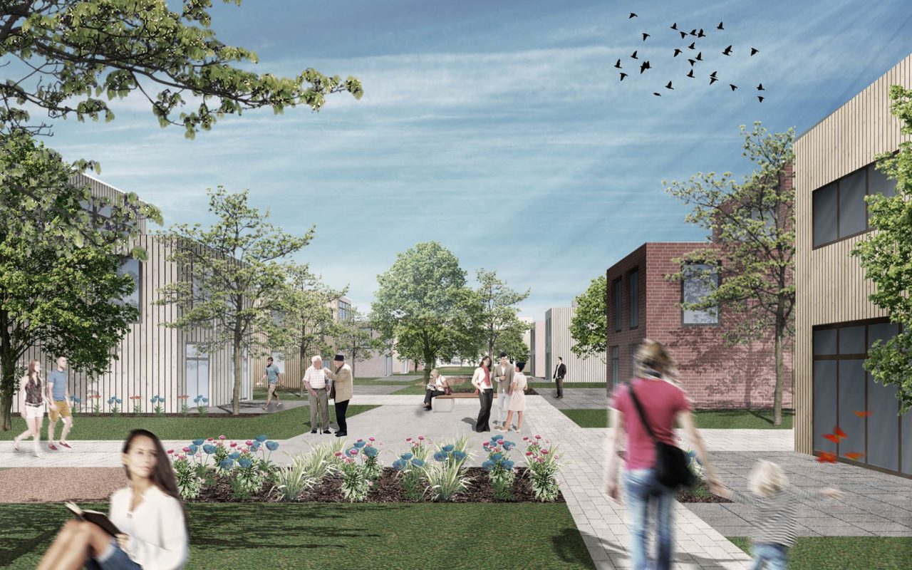
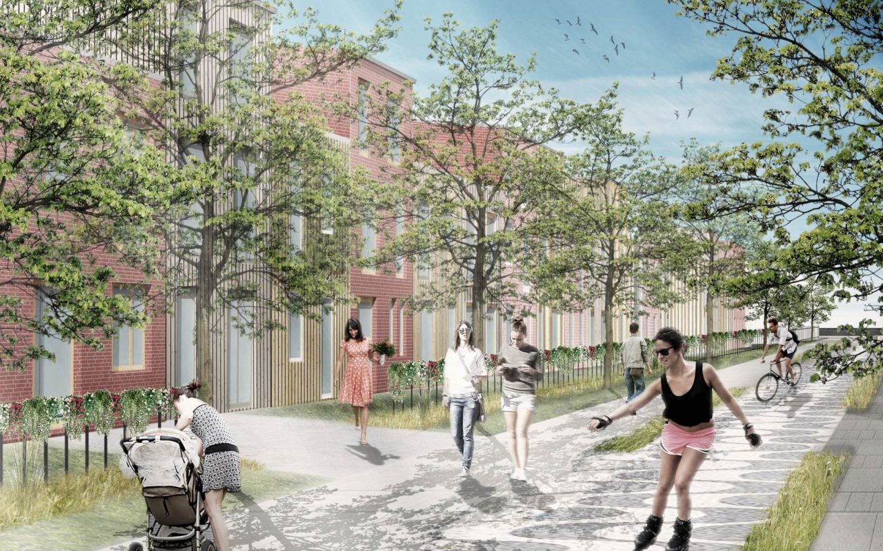
The new urban district is meshed into the surrounding nature via rhythmic green spaces. These form small milieus and neighbourhoods within the residential area itself and are also where local amenities and public recreation areas are located.
The gateway to the residential area is formed by the ‘belt’ that forms a bridge to the older neighbouring district of Rablinghausen. The two neighbourhoods connect by sharing the services, shopping facilities, car parks, offices and nursing homes in the belt. The ‘Neustädter Häfen’ residential area spreads out behind this belt and is kept free of through traffic. The housing density is based on the small-scale settlement structure of the neighbouring district.
From the urban planning perspective, the new district enjoys links to the surrounding landscape. It opens not only onto the ‘Weseruferpark’, a riverside recreational area, but also onto the adjacent nature reserve and the water’s edge. Rows of houses are arranged lengthwise towards the conservation area and dovetail into it. Multi-family houses are envisaged for the preferred location by the waterfront. A network of paths is interlaced between the houses, forming neighbourhoods and leading to public promenades along the riverside.

